Kuruva | |
|---|---|
Village | |
.jpg.webp) A countryside near Pang Town in Kuruva | |
 Kuruva  Kuruva | |
| Coordinates: 11°00′57″N 76°06′47″E / 11.01583°N 76.11306°E | |
| Country | |
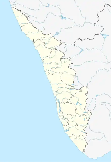
| State | Kerala |
| District | Malappuram |
| Taluk | Perinthalmanna |
| Government | |
| • Type | Gram Panchayat |
| Area | |
| • Total | 31.02 km2 (11.98 sq mi) |
| Elevation | 52 m (171 ft) |
| Population (2011) | |
| • Total | 38,153 |
| • Density | 1,200/km2 (3,200/sq mi) |
| Languages | |
| • Official | Malayalam |
| Time zone | UTC+5:30 (IST) |
| PIN | 679338 |
| STD code | 04933 |
| Vehicle registration | KL-53 |
Kuruva is a village in Perinthalmanna Taluk, Malappuram District, Kerala, India. It is located along the National Highway 966, about 6 kilometres southeast of the district seat Malappuram, and 13 kilometres northwest of the taluk seat Perinthalmanna. As of the 2011 India Census, the population was 38,153.[1]
Demographics
In the 2011 census, Kuruva had a total of 7,233 households. The gender composition was 47.84% male and 52.16% female. The literacy rate was 79.70%, with 80.69% of the male population and 78.80% of the female population being literate.[1]
References
- 1 2 "Basic Population Figures of India, States, Districts, Sub-District and Village, 2011". Office of the Registrar General & Census Commissioner, India. Archived from the original on 2 March 2023. Retrieved 30 September 2023.
This article is issued from Wikipedia. The text is licensed under Creative Commons - Attribution - Sharealike. Additional terms may apply for the media files.