Lúky | |
|---|---|
Municipality | |
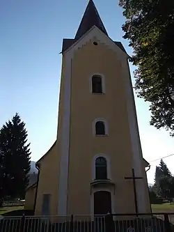 Saint Bartholomew church | |
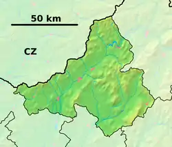 Lúky Location of Lúky in the Trenčín Region 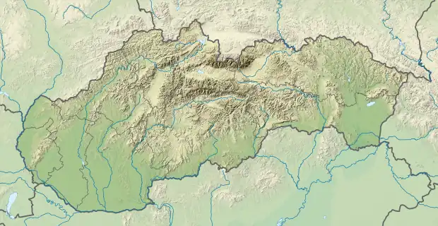 Lúky Location of Lúky in Slovakia | |
| Coordinates: 49°11′30″N 18°13′24″E / 49.1917°N 18.2233°E | |
| Country | |
| Region | Trenčín |
| District | Púchov |
| First mentioned | 1471 |
| Area | |
| • Total | 7.736 km2 (2.987 sq mi) |
| Elevation | 345 m (1,132 ft) |
| Population | |
| • Total | 950 |
| • Density | 120/km2 (320/sq mi) |
| Time zone | UTC+1 (CET) |
| • Summer (DST) | UTC+2 (CEST) |
| Postal code | 020 53 |
| Area code | +421-42 |
| Car plate | PU |
| Website | www |
Lúky (Hungarian: Alsórétfalu) is a village and municipality in Púchov District in the Trenčín Region of north-western Slovakia.
History
In historical records the village was first mentioned in 1471.
Geography
The municipality lies at an altitude of 345 metres and covers an area of 7.736 km². It has a population of about 950 people.
External links
 Media related to Lúky at Wikimedia Commons
- Official website

- https://web.archive.org/web/20070513023228/http://www.statistics.sk/mosmis/eng/run.html
Municipalities of Púchov District | ||
|---|---|---|
This article is issued from Wikipedia. The text is licensed under Creative Commons - Attribution - Sharealike. Additional terms may apply for the media files.