La Frette-sur-Seine | |
|---|---|
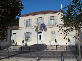 The town hall of La Frette | |
.svg.png.webp) Coat of arms | |
Location of La Frette-sur-Seine | |
 La Frette-sur-Seine 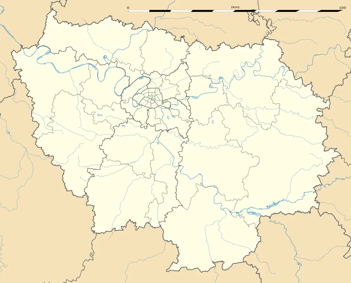 La Frette-sur-Seine | |
| Coordinates: 48°58′30″N 2°10′46″E / 48.9750°N 2.1794°E | |
| Country | France |
| Region | Île-de-France |
| Department | Val-d'Oise |
| Arrondissement | Argenteuil |
| Canton | Herblay-sur-Seine |
| Intercommunality | CA Val Parisis |
| Government | |
| • Mayor (2020–2026) | Philippe Audebert[1] |
| Area 1 | 2.02 km2 (0.78 sq mi) |
| Population | 4,621 |
| • Density | 2,300/km2 (5,900/sq mi) |
| Time zone | UTC+01:00 (CET) |
| • Summer (DST) | UTC+02:00 (CEST) |
| INSEE/Postal code | 95257 /95530 |
| Elevation | 22–81 m (72–266 ft) |
| 1 French Land Register data, which excludes lakes, ponds, glaciers > 1 km2 (0.386 sq mi or 247 acres) and river estuaries. | |
La Frette-sur-Seine (French pronunciation: [la fʁɛt syʁ sɛn] ⓘ, literally La Frette on Seine) is a commune in the Val-d'Oise department in Île-de-France in northern France.
Population
| Year | Pop. | ±% p.a. |
|---|---|---|
| 1968 | 3,573 | — |
| 1975 | 3,681 | +0.43% |
| 1982 | 3,829 | +0.56% |
| 1990 | 4,126 | +0.94% |
| 1999 | 4,378 | +0.66% |
| 2007 | 4,520 | +0.40% |
| 2012 | 4,572 | +0.23% |
| 2017 | 4,686 | +0.49% |
| Source: INSEE[3] | ||
See also
References
- ↑ "Répertoire national des élus: les maires" (in French). data.gouv.fr, Plateforme ouverte des données publiques françaises. 13 September 2022.
- ↑ "Populations légales 2021". The National Institute of Statistics and Economic Studies. 28 December 2023.
- ↑ Population en historique depuis 1968, INSEE
External links
- Official website (in French)
- Association of Mayors of the Val d'Oise (in French)
Wikimedia Commons has media related to La Frette-sur-Seine.
This article is issued from Wikipedia. The text is licensed under Creative Commons - Attribution - Sharealike. Additional terms may apply for the media files.