La Gohannière | |
|---|---|
Part of Tirepied-sur-Sée | |
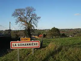 Village entrance | |
Location of La Gohannière | |
 La Gohannière  La Gohannière | |
| Coordinates: 48°42′25″N 1°15′13″W / 48.7069°N 1.2536°W | |
| Country | France |
| Region | Normandy |
| Department | Manche |
| Arrondissement | Avranches |
| Canton | Isigny-le-Buat |
| Commune | Tirepied-sur-Sée |
| Area 1 | 3.78 km2 (1.46 sq mi) |
| Population (2016)[1] | 118 |
| • Density | 31/km2 (81/sq mi) |
| Time zone | UTC+01:00 (CET) |
| • Summer (DST) | UTC+02:00 (CEST) |
| Postal code | 50300 |
| Elevation | 12–137 m (39–449 ft) (avg. 40 m or 130 ft) |
| 1 French Land Register data, which excludes lakes, ponds, glaciers > 1 km2 (0.386 sq mi or 247 acres) and river estuaries. | |
La Gohannière (French pronunciation: [la ɡɔanjɛʁ]) is a former commune in the Manche department in north-western France. On 1 January 2019, it was merged into the new commune of Tirepied-sur-Sée.[2]
See also
References
Wikimedia Commons has media related to La Gohannière.
This article is issued from Wikipedia. The text is licensed under Creative Commons - Attribution - Sharealike. Additional terms may apply for the media files.