La Graverie | |
|---|---|
Part of Souleuvre-en-Bocage | |
 | |
Location of La Graverie | |
 La Graverie  La Graverie | |
| Coordinates: 48°53′42″N 0°52′46″W / 48.895°N 0.8794°W | |
| Country | France |
| Region | Normandy |
| Department | Calvados |
| Arrondissement | Vire |
| Canton | Condé-en-Normandie |
| Commune | Souleuvre-en-Bocage |
| Area 1 | 11.89 km2 (4.59 sq mi) |
| Population (2019)[1] | 1,186 |
| • Density | 100/km2 (260/sq mi) |
| Time zone | UTC+01:00 (CET) |
| • Summer (DST) | UTC+02:00 (CEST) |
| Postal code | 14350 |
| Elevation | 79–165 m (259–541 ft) (avg. 89 m or 292 ft) |
| 1 French Land Register data, which excludes lakes, ponds, glaciers > 1 km2 (0.386 sq mi or 247 acres) and river estuaries. | |
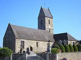
La Graverie (French pronunciation: [la ɡʁavʁi] ⓘ) is a former commune in the Calvados department in the Normandy region in northwestern France. On 1 January 2016, it was merged into the new commune of Souleuvre-en-Bocage.[2]
Population
|
|
See also
References
- ↑ Téléchargement du fichier d'ensemble des populations légales en 2019, INSEE
- ↑ Arrêté préfectoral 1 December 2015 (in French)
Wikimedia Commons has media related to La Graverie.
This article is issued from Wikipedia. The text is licensed under Creative Commons - Attribution - Sharealike. Additional terms may apply for the media files.