La Tour | |
|---|---|
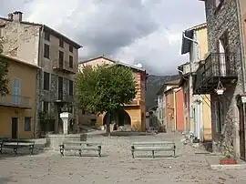 The square in the village of La Tour | |
_06.svg.png.webp) Coat of arms | |
Location of La Tour | |
 La Tour 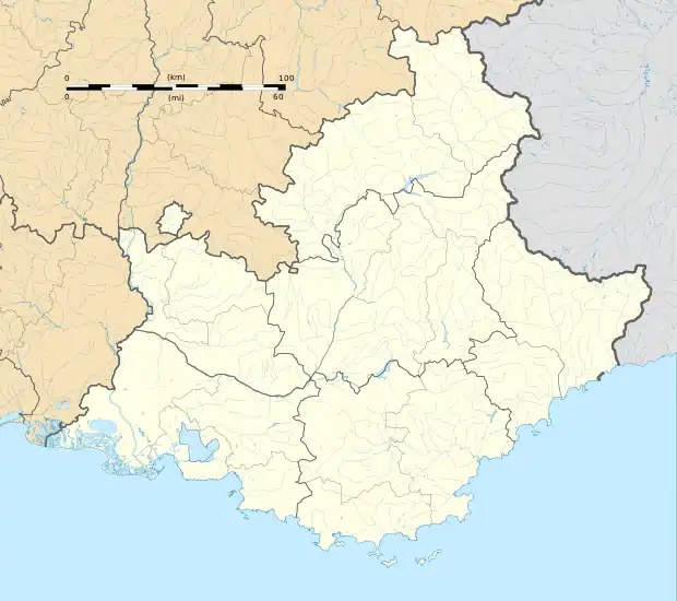 La Tour | |
| Coordinates: 43°56′52″N 7°11′06″E / 43.9478°N 7.185°E | |
| Country | France |
| Region | Provence-Alpes-Côte d'Azur |
| Department | Alpes-Maritimes |
| Arrondissement | Nice |
| Canton | Vence |
| Intercommunality | Métropole Nice Côte d'Azur |
| Government | |
| • Mayor (2020–2026) | Thierry Roux[1] |
| Area 1 | 36.7 km2 (14.2 sq mi) |
| Population | 539 |
| • Density | 15/km2 (38/sq mi) |
| Demonym | Tourriers |
| Time zone | UTC+01:00 (CET) |
| • Summer (DST) | UTC+02:00 (CEST) |
| INSEE/Postal code | 06144 /06710 |
| Elevation | 195–1,900 m (640–6,234 ft) (avg. 640 m or 2,100 ft) |
| 1 French Land Register data, which excludes lakes, ponds, glaciers > 1 km2 (0.386 sq mi or 247 acres) and river estuaries. | |
La Tour (French pronunciation: [la tuʁ]; Occitan: La Tor; Italian: La Torre) is a commune in the Alpes-Maritimes department in southeastern France.
Population
| Year | Pop. | ±% |
|---|---|---|
| 1962 | 150 | — |
| 1968 | 170 | +13.3% |
| 1975 | 176 | +3.5% |
| 1982 | 148 | −15.9% |
| 1990 | 286 | +93.2% |
| 1999 | 300 | +4.9% |
| 2008 | 439 | +46.3% |
See also
References
- ↑ "Répertoire national des élus: les maires" (in French). data.gouv.fr, Plateforme ouverte des données publiques françaises. 13 September 2022.
- ↑ "Populations légales 2021". The National Institute of Statistics and Economic Studies. 28 December 2023.
Wikimedia Commons has media related to La Tour, Alpes-Maritimes.
This article is issued from Wikipedia. The text is licensed under Creative Commons - Attribution - Sharealike. Additional terms may apply for the media files.