La Villeneuve | |
|---|---|
Part of Clux-Villeneuve | |
 | |
Location of La Villeneuve | |
 La Villeneuve  La Villeneuve | |
| Coordinates: 46°57′30″N 5°10′22″E / 46.9583°N 5.1728°E | |
| Country | France |
| Region | Bourgogne-Franche-Comté |
| Department | Saône-et-Loire |
| Arrondissement | Chalon-sur-Saône |
| Canton | Gergy |
| Commune | Clux-Villeneuve |
| Area 1 | 7.35 km2 (2.84 sq mi) |
| Population (2017)[1] | 209 |
| • Density | 28/km2 (74/sq mi) |
| Time zone | UTC+01:00 (CET) |
| • Summer (DST) | UTC+02:00 (CEST) |
| Postal code | 71270 |
| Elevation | 176–193 m (577–633 ft) (avg. 193 m or 633 ft) |
| 1 French Land Register data, which excludes lakes, ponds, glaciers > 1 km2 (0.386 sq mi or 247 acres) and river estuaries. | |
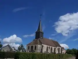
La Villeneuve (French pronunciation: [la vilnœv]) is a former commune in the Saône-et-Loire department in the region of Bourgogne in eastern France. On 1 January 2015, Clux and La Villeneuve merged becoming one commune called Clux-Villeneuve.
See also
References
Wikimedia Commons has media related to La Villeneuve (Saône-et-Loire).
This article is issued from Wikipedia. The text is licensed under Creative Commons - Attribution - Sharealike. Additional terms may apply for the media files.