| Lageråa | |
|---|---|
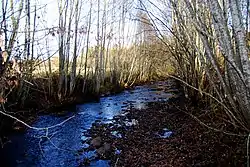 View of the Lageråa near Ilseng | |
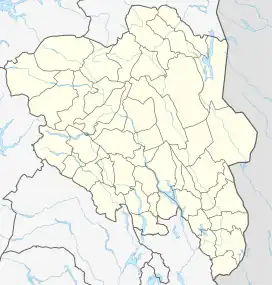 Location of the river 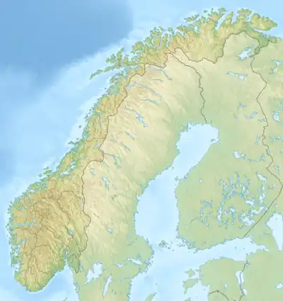 Lageråa (Norway) | |
| Location | |
| Country | Norway |
| County | Innlandet |
| Municipalities | Stange Municipality |
| Physical characteristics | |
| Source | Confluence of the rivers Gåsbubekken and Østeråa |
| • location | Hamar, Norway |
| • coordinates | 60°53′48″N 11°13′17″E / 60.8966°N 11.2213°E |
| • elevation | 477 metres (1,565 ft) |
| Mouth | Svartelva |
• location | Ilseng, Norway |
• coordinates | 60°46′24″N 11°13′05″E / 60.7733°N 11.218°E |
• elevation | 141 metres (463 ft) |
| Length | 22.6 km (14.0 mi) |
| Basin size | 31.38 km2 (12.12 sq mi) |
| Discharge | |
| • average | 0.28 m3/s (9.9 cu ft/s) |
Lageråa is a small river in Innlandet county, Norway. The 22.6-kilometre (14.0 mi) long river flows from a marshy area in the Vang Almenning in Hamar Municipality southwards. For a time, the river forms the border between Hamar and Løten municipalities. When the river reaches the village of Ilseng in Stange, it discharges into the larger river Svartelva.[1]
See also
References
- ↑ "Elvenett" (in Norwegian). NVE. Retrieved 27 March 2022.
This article is issued from Wikipedia. The text is licensed under Creative Commons - Attribution - Sharealike. Additional terms may apply for the media files.