Laurel | |
|---|---|
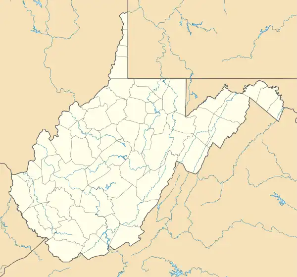 Laurel Location within the state of West Virginia  Laurel Laurel (the United States) | |
| Coordinates: 38°57′38″N 79°59′19″W / 38.96056°N 79.98861°W | |
| Country | |
| State | |
| County | |
| Elevation | 1,752 ft (534 m) |
| Time zone | UTC-5 (Eastern (EST)) |
| • Summer (DST) | UTC-4 (EDT) |
| GNIS ID | 1697096[1] |
Laurel was an unincorporated community in Barbour County, West Virginia, United States.
References
Municipalities and communities of Barbour County, West Virginia, United States | ||
|---|---|---|
| City |  Map of West Virginia highlighting Barbour County | |
| Magisterial districts |
| |
| Towns | ||
| CDPs | ||
| Unincorporated communities |
| |
| Ghost towns | ||
This article is issued from Wikipedia. The text is licensed under Creative Commons - Attribution - Sharealike. Additional terms may apply for the media files.