| Lava Mountains | |
|---|---|
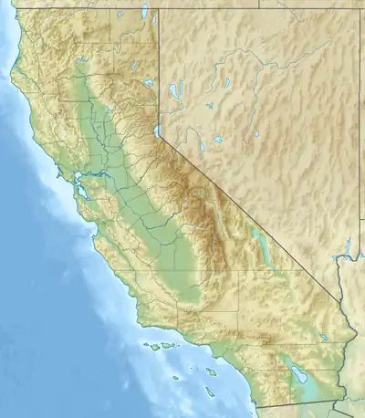 Location of Lava Mountains in California[1] | |
| Highest point | |
| Elevation | 1,392 m (4,567 ft) |
| Geography | |
| Country | United States |
| State | California |
| District | San Bernardino County |
| Range coordinates | 35°26′13.862″N 117°31′11.206″W / 35.43718389°N 117.51977944°W |
| Topo map | USGS Klinker Mountain |
The Lava Mountains are a mountain range in the Mojave Desert, in San Bernardino County, California.[1] They are one of the eastern limits of the Fremont Valley.
References
- 1 2 "Lava Mountains". Geographic Names Information System. United States Geological Survey, United States Department of the Interior. Retrieved 2009-05-04.
This article is issued from Wikipedia. The text is licensed under Creative Commons - Attribution - Sharealike. Additional terms may apply for the media files.