| Lej da Vadret | |
|---|---|
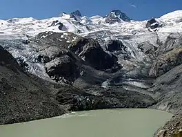 | |
 Lej da Vadret 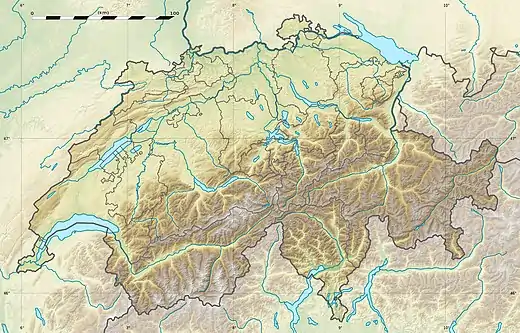 Lej da Vadret  Lej da Vadret  Lej da Vadret | |
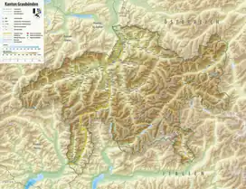
| Location | Grisons |
| Coordinates | 46°24′00″N 9°50′57″E / 46.40000°N 9.84917°E |
| Primary outflows | Rosegbach (Ova da Roseg) |
| Basin countries | Switzerland |
| Max. length | 1.5 km (0.93 mi) |
| Max. width | 300 m (980 ft) |
| Surface area | 0.43 km2 (0.17 sq mi)[1] |
| Surface elevation | 2,160 m (7,090 ft)[2] |
Lej da Vadret is a lake below Roseg Glacier in the Grisons, Switzerland.
See also
References
- ↑ Area retrieved from Google Earth (July 2013)
- ↑ Height retrieved from the Swisstopo topographic maps
This article is issued from Wikipedia. The text is licensed under Creative Commons - Attribution - Sharealike. Additional terms may apply for the media files.