Lintzoain | |
|---|---|
village | |
| Lintzoain | |
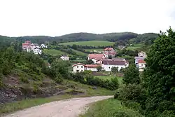 Lintzoain view from the Way of St. James | |
 Seal | |
 Lintzoain | |
| Coordinates: 42°57′46″N 1°26′14″W / 42.96278°N 1.43722°W | |
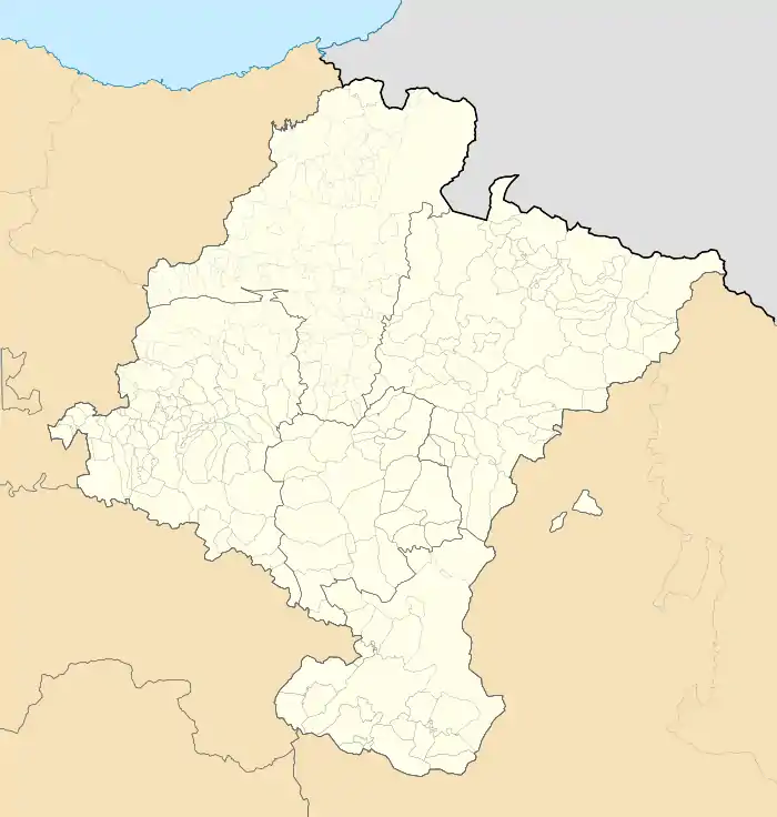
| Country | Spain |
| Province | Navarre |
| Municipality | Erroibar |
| Government | |
| • Type | Concejo |
| Area | |
| • Total | 6.58 km2 (2.54 sq mi) |
| Elevation | 749 m (2,457 ft) |
| Population (2020) | |
| • Total | 67 |
| • Density | 10.18/km2 (26.4/sq mi) |
| Time zone | UTC+1 (CET) |
| • Summer (DST) | UTC+2 (CEST) |
Lintzoain is a town located in Erroibar valley, in province and chartered community of Navarre, northern Spain.
The Way of St. James passes through it after Bizkarreta-Gerendiain and before Zubiri, in the neighbouring Esteribar valley.[1]
References
- ↑ "LINTZOAIN - Auñamendi Eusko Entziklopedia". aunamendi.eusko-ikaskuntza.eus (in Basque). Retrieved 2021-11-29.
This article is issued from Wikipedia. The text is licensed under Creative Commons - Attribution - Sharealike. Additional terms may apply for the media files.