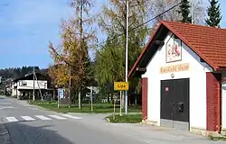
Lipa | |
|---|---|
 | |
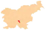
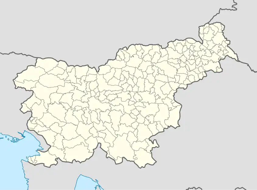 Lipa Location in Slovenia | |
| Coordinates: 45°47′3.39″N 14°46′24.63″E / 45.7842750°N 14.7735083°E | |
| Country | |
| Traditional region | Lower Carniola |
| Statistical region | Central Slovenia |
| Municipality | Dobrepolje |
| Area | |
| • Total | 4.26 km2 (1.64 sq mi) |
| Elevation | 420 m (1,380 ft) |
| Population (2020) | |
| • Total | 65 |
| • Density | 15/km2 (40/sq mi) |
| [1] | |
Lipa (pronounced [ˈliːpa]) is a settlement in the Municipality of Dobrepolje in Slovenia. The municipality is included in the Central Slovenia Statistical Region. The entire area is part of the historical region of Lower Carniola.[2]
References
External links
| Settlements | Administrative seat: Videm
|  | ||||
|---|---|---|---|---|---|---|
| Landmarks |
| |||||
| Notable people |
| |||||
This article is issued from Wikipedia. The text is licensed under Creative Commons - Attribution - Sharealike. Additional terms may apply for the media files.