| Little Saganash River | |
|---|---|
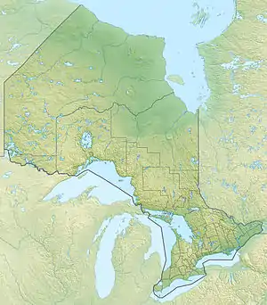 Location of the mouth of the Little Saganash River in Ontario | |
| Location | |
| Country | Canada |
| Province | Ontario |
| Region | Northeastern Ontario |
| District | Cochrane |
| Physical characteristics | |
| Source | Unnamed lake |
| • location | Casselman Township |
| • coordinates | 49°05′01″N 82°25′54″W / 49.08361°N 82.43167°W |
| • elevation | 278 m (912 ft) |
| Mouth | Saganash River |
• location | Sulman Township |
• coordinates | 49°13′14″N 82°30′36″W / 49.22056°N 82.51000°W |
• elevation | 222 m (728 ft) |
| Basin features | |
| River system | James Bay drainage basin |
The Little Saganash River is a river in Cochrane District in northeastern Ontario, Canada.[1] It is in the James Bay drainage basin, and is a right tributary of the Saganash River.
Course
The river begins at a small, unnamed lake in geographic Casselman Township,[2] between Swanson Road and Chain of Lakes Road. It flows northwest into geographic Staples Township,[3] turns north then again northwest. The river flows into geographic Sulman Township,[4] and reaches its mouth at the Saganash River. The Saganash River flows via the Kapuskasing River, the Mattagami River and the Moose River to James Bay.
References
- ↑ "Little Saganash River". Geographical Names Data Base. Natural Resources Canada. Retrieved 2016-08-19.
- ↑ "Casselman" (PDF). Geology Ontario - Historic Claim Maps. Ontario Ministry of Northern Development, Mines and Forestry. Retrieved 2016-08-19.
- ↑ "Staples" (PDF). Geology Ontario - Historic Claim Maps. Ontario Ministry of Northern Development, Mines and Forestry. Archived from the original (PDF) on 2016-09-16. Retrieved 2016-08-19.
- ↑ "Sulman" (PDF). Geology Ontario - Historic Claim Maps. Ontario Ministry of Northern Development, Mines and Forestry. Archived from the original (PDF) on 2016-09-16. Retrieved 2016-08-19.
Sources
- Map 14 (PDF) (Map). 1 : 1,600,000. Official road map of Ontario. Ministry of Transportation of Ontario. 2010-01-01. Retrieved 2016-08-19.
- Restructured municipalities - Ontario map #3 (Map). Restructuring Maps of Ontario. Ontario Ministry of Municipal Affairs and Housing. 2006. Retrieved 2016-08-19.
This article is issued from Wikipedia. The text is licensed under Creative Commons - Attribution - Sharealike. Additional terms may apply for the media files.