Logoualé | |
|---|---|
Town, sub-prefecture, and commune | |
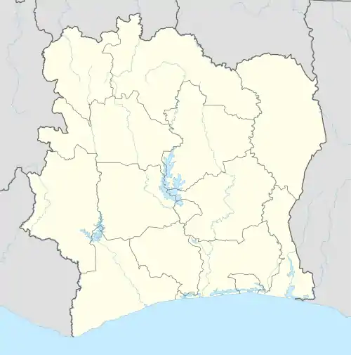 Logoualé Location in Ivory Coast | |
| Coordinates: 7°7′N 7°33′W / 7.117°N 7.550°W | |
| Country | |
| District | Montagnes |
| Region | Tonkpi |
| Department | Man |
| Area | |
| • Total | 200 km2 (80 sq mi) |
| Population (2021 census)[1] | |
| • Total | 32,854 |
| • Density | 160/km2 (430/sq mi) |
| • Town | 12,425[2] |
| (2014 census) | |
| Time zone | UTC+0 (GMT) |
Logoualé is a town in western Ivory Coast. It is a sub-prefecture and commune of Man Department in Tonkpi Region, Montagnes District.
In 2021, the population of the sub-prefecture of Logoualé was 32,854.[1]
Villages
The fifteen villages of the sub-prefecture of Logoualé and their population in 2014 are:[2]
- Banlé (918)
- Dakoupleu (3 213)
- Dinégouiné (560)
- Diouziamba (475)
- Gblonlé (904)
- Goziogouiné 1 (975)
- Goziogouiné 2 (484)
- Kétongouiné (410)
- Koulinlé (923)
- Logoualé (12 425)
- Douélé (1 582)
- Gbé-Tontigouiné (966)
- Gloalé (2 691)
- Kpoagouiné (486)
- Soapleu - Dazeré (1 496)
Notes
- 1 2 Citypopulation.de Population of the regions and sub-prefectures of Ivory Coast
- 1 2 Citypopulation.de
Regional seat: Man | ||
| Biankouma Department | 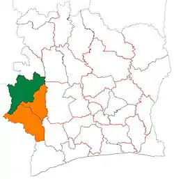 | |
| Danané Department | ||
| Man Department | ||
| Sipilou Department | ||
| Zouan-Hounien Department | ||
* also a commune | ||
This article is issued from Wikipedia. The text is licensed under Creative Commons - Attribution - Sharealike. Additional terms may apply for the media files.