| Loi Wengwo | |
|---|---|
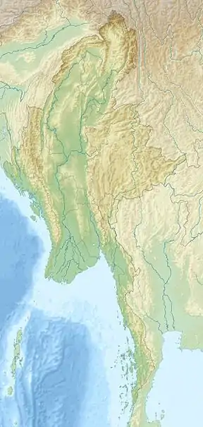 Loi Wengwo Location in Burma | |
| Highest point | |
| Elevation | 1,831 m (6,007 ft)[1] |
| Listing | List of mountains in Burma |
| Coordinates | 21°17′29″N 98°56′54″E / 21.29139°N 98.94833°E[1] |
| Geography | |
| Location | Shan State, Myanmar |
| Parent range | Shan Hills |
| Climbing | |
| First ascent | unknown |
| Easiest route | climb |
Loi Wengwo is a mountain of the Shan Hills, in Shan State, Burma.[1]
Geography
Loi Wengwo is located about 6 km to the west of Mong Ping in Mong Ping Township of Mongsat District, overlooking the valley.[2]
See also
References
- 1 2 3 GoogleEarth
- ↑ "Loi Wengwo". Mapcarta. Retrieved 28 May 2016.
External links
This article is issued from Wikipedia. The text is licensed under Creative Commons - Attribution - Sharealike. Additional terms may apply for the media files.