Los Cerralbos | |
|---|---|
 | |
 Flag  Coat of arms | |
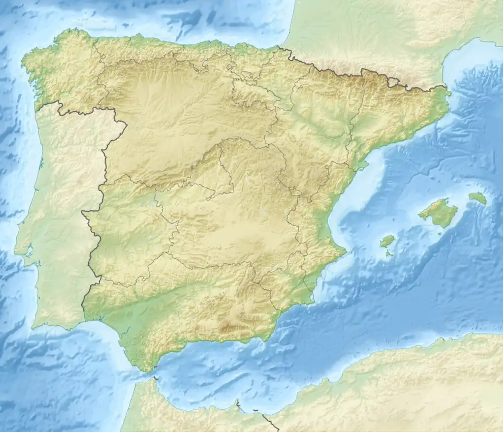 Los Cerralbos Location in Spain 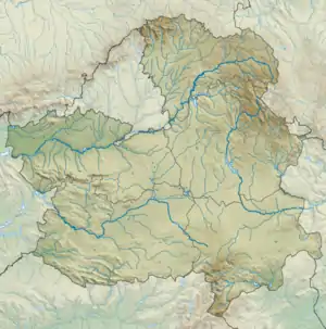 Los Cerralbos Los Cerralbos (Castilla-La Mancha) | |
| Coordinates: 39°58′59″N 4°34′25″W / 39.98306°N 4.57361°W | |
| Country | Spain |
| Autonomous community | Castilla–La Mancha |
| Province | Toledo |
| Founded | 1835 |
| Area | |
| • Total | 40.15 km2 (15.50 sq mi) |
| Elevation | 462 m (1,516 ft) |
| Population (2018)[1] | |
| • Total | 418 |
| • Density | 10/km2 (27/sq mi) |
| Demonym(s) | Cerralbeño, ña |
| Time zone | UTC+1 (CET) |
| • Summer (DST) | UTC+2 (CEST) |
| Postal code | 45682 |
| Dialing code | 925 |
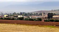
Los Cerralbos is a municipality of Spain belonging to the province of Toledo, in the autonomous community of Castilla–La Mancha.[2] It features a total area of 40.15 square kilometres (15.50 sq mi), and, as of 1 January 2021, a registered population of 418.[2]
History
The municipality was created in 1835 under the purview of the 1833 royal decree of territorial division of Spain, as a merger of the municipalities of Cerralbo de Talavera and Cerralbo de Escalona.[3][4]
References
- ↑ Municipal Register of Spain 2018. National Statistics Institute.
- 1 2 "Datos del Registro de Entidades Locales". Ministerio de Asuntos Económicos y Transformación Digital. Retrieved 10 July 2022.
- ↑ Sánchez, Isidro; Villena, Rafael (2005). Testigo de lo pasado. Castilla-La Mancha en sus documentos (1785-2005). Tomelloso: Ediciones Soubriet. p. 54. ISBN 84-95410-41-9.
- ↑ "Directorio de Municipios y EATIM. Los Cerralbos". Diputación de Toledo. Retrieved 10 July 2022.
This article is issued from Wikipedia. The text is licensed under Creative Commons - Attribution - Sharealike. Additional terms may apply for the media files.