Los Rábanos | |
|---|---|
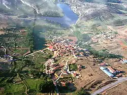 Aerial view of Los Rabanos | |
 Seal | |
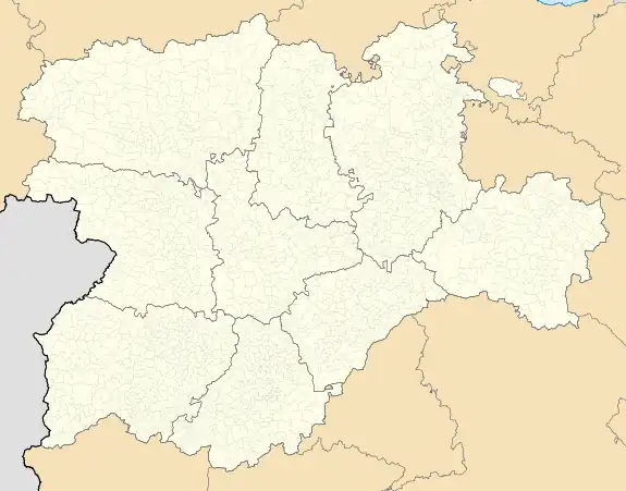 Los Rábanos Location in Spain.  Los Rábanos Los Rábanos (Spain) | |
| Coordinates: 41°42′59″N 2°28′35″W / 41.71639°N 2.47639°W | |
| Country | |
| Autonomous community | |
| Province | |
| Municipality | Los Rábanos |
| Area | |
| • Total | 101.53 km2 (39.20 sq mi) |
| Elevation | 1,022 m (3,353 ft) |
| Population (2018)[1] | |
| • Total | 477 |
| • Density | 4.7/km2 (12/sq mi) |
| Time zone | UTC+1 (CET) |
| • Summer (DST) | UTC+2 (CEST) |
| Website | Official website |
Los Rábanos is a municipality located in the province of Soria, in the autonomous community of Castile and León, Spain.
Places in the municipality include Miranda de Duero.[2]
References
- ↑ Municipal Register of Spain 2018. National Statistics Institute.
- ↑ "Miranda de Duero". www.losrabanos.es (in Spanish). 27 February 2007. Retrieved 11 May 2020.
This article is issued from Wikipedia. The text is licensed under Creative Commons - Attribution - Sharealike. Additional terms may apply for the media files.