Louieville | |
|---|---|
 Louieville  Louieville | |
| Coordinates: 25°40′37″S 31°17′53″E / 25.677°S 31.298°E | |
| Country | South Africa |
| Province | Mpumalanga |
| District | Ehlanzeni |
| Municipality | Nkomazi |
| Area | |
| • Total | 9.46 km2 (3.65 sq mi) |
| Population (2011)[1] | |
| • Total | 1,364 |
| • Density | 140/km2 (370/sq mi) |
| Racial makeup (2011) | |
| • Black African | 99.6% |
| • Coloured | 0.4% |
| First languages (2011) | |
| • Swazi | 94.1% |
| • Tsonga | 3.2% |
| • Other | 2.8% |
| Time zone | UTC+2 (SAST) |
Louieville is a town in Ehlanzeni District Municipality in the Mpumalanga province of South Africa. It was the capital of KaNgwane, a non-independent bantustan.[2]
References
- 1 2 3 4 "Main Place Louieville". Census 2011.
- ↑ "KaNgwane (state, South Africa)". Encyclopædia Britannica. Retrieved 10 January 2014.
Municipalities and communities of Ehlanzeni District Municipality, Mpumalanga | ||
|---|---|---|
District seat: Nelspruit (Mbombela) | ||
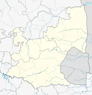
| Mbombela | .svg.png.webp) Ehlanzeni District within South Africa | |
| Nkomazi | ||
| Thaba Chweu | ||
| Bushbuckridge |
| |
This article is issued from Wikipedia. The text is licensed under Creative Commons - Attribution - Sharealike. Additional terms may apply for the media files.