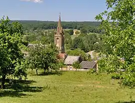
Louvergny | |
|---|---|
Part of Bairon et ses environs | |
 | |
 Coat of arms | |
Location of Louvergny | |
 Louvergny  Louvergny | |
| Coordinates: 49°33′10″N 4°44′25″E / 49.5529°N 4.7403°E | |
| Country | France |
| Region | Grand Est |
| Department | Ardennes |
| Arrondissement | Vouziers |
| Canton | Vouziers |
| Commune | Bairon et ses environs |
| Area 1 | 8.95 km2 (3.46 sq mi) |
| Population (2019)[1] | 65 |
| • Density | 7.3/km2 (19/sq mi) |
| Time zone | UTC+01:00 (CET) |
| • Summer (DST) | UTC+02:00 (CEST) |
| Postal code | 08390 |
| Elevation | 172–249 m (564–817 ft) (avg. 220 m or 720 ft) |
| 1 French Land Register data, which excludes lakes, ponds, glaciers > 1 km2 (0.386 sq mi or 247 acres) and river estuaries. | |
Louvergny (French pronunciation: [luvɛʁɲi]) is a former commune in the Ardennes department in northern France. On 1 January 2016, it was merged into the new commune Bairon et ses environs.[2]
Geography
Louvergny is mostly situated on the southern bank of the Ruisseau des Prés, which flows into the Lake of Bairon.
Population
|
|
The inhabitants are called Marinettes.
See also
References
- ↑ Téléchargement du fichier d'ensemble des populations légales en 2019, INSEE
- ↑ Arrêté préfectoral 30 November 2015 (in French)
Wikimedia Commons has media related to Louvergny.
This article is issued from Wikipedia. The text is licensed under Creative Commons - Attribution - Sharealike. Additional terms may apply for the media files.