Lusambo Airport | |||||||||||
|---|---|---|---|---|---|---|---|---|---|---|---|
| Summary | |||||||||||
| Serves | Lusambo, Democratic Republic of the Congo | ||||||||||
| Elevation AMSL | 1,407 ft / 429 m | ||||||||||
| Coordinates | 4°57′42″S 23°22′42″E / 4.96167°S 23.37833°E | ||||||||||
| Map | |||||||||||
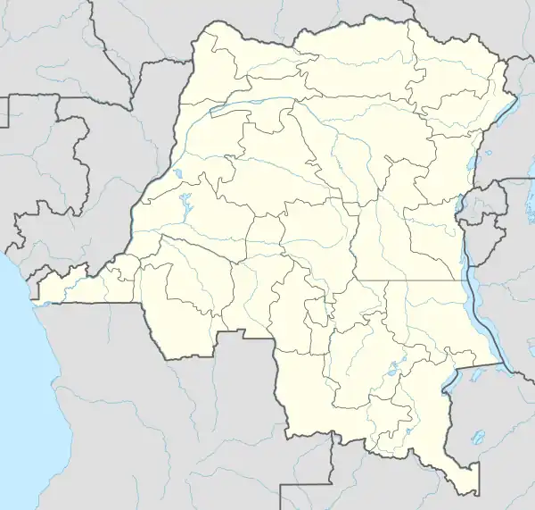 LBO Location of the airport in the Democratic Republic of the Congo | |||||||||||
| Runways | |||||||||||
| |||||||||||
Lusambo Airport (IATA: LBO, ICAO: FZVI) is an airport serving Lusambo, a town and territory in the Sankuru district of the Kasai-Oriental Province, Democratic Republic of the Congo. The runway is 6 kilometres (3.7 mi) west of Lusambo and parallels the Sankuru River.
See also
References
- ↑ Airport information for Lusambo Airport at Great Circle Mapper.
- ↑ Google Maps/2014 - Lusambo Airport
External links
This article is issued from Wikipedia. The text is licensed under Creative Commons - Attribution - Sharealike. Additional terms may apply for the media files.