Mường Lói | |
|---|---|
Commune and village | |
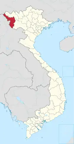
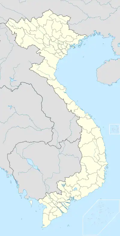 Mường Lói Location in Vietnam | |
| Coordinates: 20°59′26″N 103°8′34″E / 20.99056°N 103.14278°E | |
| Country | |
| Province | Điện Biên |
| District | Điện Biên |
| Population | |
| • Total | 3,650 |
| Time zone | UTC+07:00 (Indochina Time) |
Mường Lói is a commune (xã) and village of the Điện Biên District of Điện Biên Province, northwestern Vietnam. The village lies near to the Laotian border, north of Na Son. The commune has a reported population over 3650 people and 515 households as of 2006.[1] Ethnic groups are mainly the Kho Mu, Thai and Lao. It contains 19 villages.[1] Most people in the commune are occupied in agriculture with low levels of education.[1] Smoking opium addiction and drug use is a major problem in the commune.[1]
References
- 1 2 3 4 "Khởi sắc Mường Lói". Cema.gov.vn. Retrieved 11 October 2011.
Capital: Điện Biên Phủ | ||
| Điện Biên Phủ |
|  |
| Mường Lay | ||
| Điện Biên |
| |
| Điện Biên Đông | ||
| Mường Ảng |
| |
| Mường Chà |
| |
| Mường Nhé | ||
| Nậm Pồ | ||
| Tủa Chùa | ||
| Tuần Giáo |
| |
This article is issued from Wikipedia. The text is licensed under Creative Commons - Attribution - Sharealike. Additional terms may apply for the media files.