M.Karuppampatti
karuvai | |
|---|---|
village | |
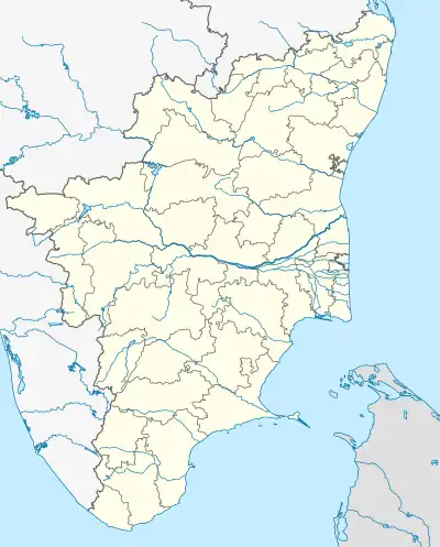 M.Karuppampatti Location in Tamil Nadu, India  M.Karuppampatti M.Karuppampatti (India) | |
| Coordinates: 11°10′05″N 78°25′31″E / 11.1681059538°N 78.4251524071°E | |
| Country | |
| State | Tamil Nadu |
| District | Tiruchirappalli |
| Government | |
| • Type | State |
| • Body | DMK |
| Area | |
| • Total | 4 km2 (2 sq mi) |
| • Rank | 1 |
| Population | |
| • Total | 2,342 |
| • Density | 590/km2 (1,500/sq mi) |
| Languages | |
| • Official | Tamil |
| Time zone | UTC+5:30 (IST) |
M.Karuppampatti is a village in Tiruchirappalli district, Musiri Taluk, Thathaiyangarpet union, Mettupalayam, Tiruchirappalli town panchayat in the Indian state of Tamil Nadu.[1][2]
Administration Authorities
- Mettupalayam, Tiruchirappalli Town panchayat
- Thathaiyangarpet Panchayat Union
- Musiri Taluk
- Tiruchirapalli District
- Tamil Nadu
- India
Facilities available
- Government Child care
- Government Preliminary School
- Library
- Agriculture Co-operative Society
- Preliminary Health Assistant Center
- Branch Post Office
Economy
- Majority of the people (90%) are small scale farmers and farm labours.
- Government officials (2%)
Transport
Several bus connections are available.
Government Sponsored ongoing project
- Tamil Nadu Afforestation Project (Japan Aided)
References
This article is issued from Wikipedia. The text is licensed under Creative Commons - Attribution - Sharealike. Additional terms may apply for the media files.