_Otszogletu_kek_tabla.svg.png.webp) | |
|---|---|
| M60-as autópálya | |
 | |
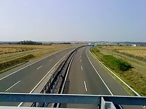 M60 near Kozármisleny | |
| Route information | |
| Length | 30.2 km (18.8 mi) 56 km (35 mi) planned |
| Major junctions | |
| From | |
| To | Barcs |
| Location | |
| Country | Hungary |
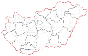
| Counties | Baranya |
| Major cities | Pécs, Szigetvár |
| Highway system | |
| |
The M60 motorway (Hungarian: M60-as autópálya) is 56 km long. It begins at the Bóly interchange on the M6 and ends at Pécs. A future extension to the Croatian border at Barcs is planned. When finished, it will connect Pécs with Zagreb.
Municipalities
The M60 motorway runs through the following municipalities:
Openings timeline
Junctions, exits and rest area
 The route is full length motorway. The maximum speed limit is 130km/h.
| M60 (BÓLY - BARCS) | |||
| Exit | km | Destinations | Notes |
|---|---|---|---|
| 0 | Dunaújváros, Budapest / Ivándárda |
The road turns toward Budapest or the border | |
| 3 | Szajk rest area | ||
| 6 | |||
| Belvárdgyulai völgyhíd - 440 m | |||
| 15 | Birján rest area (plan) | ||
| 25 | Újpetre / Pécs-East | ||
| 30 | |||
| 32 | Pécs-Kökény Street | ||
See also
External links
Wikimedia Commons has media related to Autópálya M60.
- National Toll Payment Services Plc. (in Hungarian, some information also in English)
- National Infrastructure Developer Ltd. (in Hungarian)
- Exit list of M60 in motorways-exits.com
| Motorways | 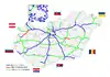 | |
|---|---|---|
| Expressways | ||
| under construction or planned |
| |
| former projects |
| |
This article is issued from Wikipedia. The text is licensed under Creative Commons - Attribution - Sharealike. Additional terms may apply for the media files.