Madison Mills, Ohio | |
|---|---|
 Looking north on U.S. Route 62 in Madison Mills | |
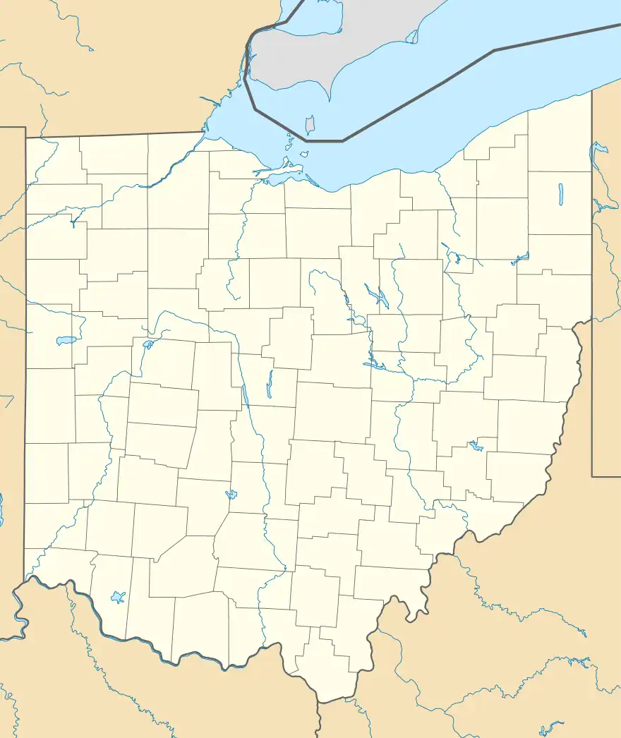 Madison Mills Location of Madison Mills, Ohio  Madison Mills Madison Mills (the United States) | |
| Coordinates: 39°39′13″N 83°20′23″W / 39.65361°N 83.33972°W | |
| Country | United States |
| State | Ohio |
| Counties | Fayette |
| Township | Madison |
| Elevation | 922 ft (281 m) |
| Time zone | UTC-5 (Eastern (EST)) |
| • Summer (DST) | UTC-4 (EDT) |
| ZIP code | 43143 |
| Area code | 740 |
| GNIS feature ID | 1070830[1] |
Madison Mills is an unincorporated community in Madison Township, Fayette County, Ohio, United States. It is located at 39°39′13″N 83°20′23″W / 39.65361°N 83.33972°W,[2] along Harrison Road (Fayette County Highway 32), between Bloomingburg and Mount Sterling.[3]
History
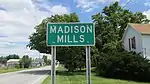
Madison Mills community sign
A large gristmill called Madison Mills was built at the site in 1859.[4] The Madison Mills Post Office was established on December 12, 1866, but was discontinued on May 31, 1942. The mail service is now sent through the Mount Sterling branch.[5] The community has also been listed on maps as Harrison Mills and Posey.[6][7]
References
- 1 2 "US Board on Geographic Names". United States Geological Survey. October 25, 2007. Retrieved January 31, 2008.
- ↑ U.S. Geological Survey Geographic Names Information System: Madison Mills, Ohio
- ↑ Rand McNally. The Road Atlas '06. Chicago: Rand McNally, 2006, 80.
- ↑ Allen, Frank M. (1914). History of Fayette County, Ohio: Her People, Industries and Institutions. B. F. Bowen, Incorporated. p. 343.
- ↑ U.S. Geological Survey Geographic Names Information System: Madison Mills Post Office
- ↑ "Variant Citation". geonames.usgs.gov. Retrieved June 23, 2018.
- ↑ "Variant Citation". geonames.usgs.gov. Retrieved June 23, 2018.
Municipalities and communities of Fayette County, Ohio, United States | ||
|---|---|---|
| City | 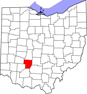 Map of Ohio highlighting Fayette County | |
| Villages | ||
| Townships | ||
| CDPs | ||
| Unincorporated communities |
| |
| Footnotes | ‡This populated place also has portions in an adjacent county or counties | |
This article is issued from Wikipedia. The text is licensed under Creative Commons - Attribution - Sharealike. Additional terms may apply for the media files.