Mahalwadi | |
|---|---|
village | |
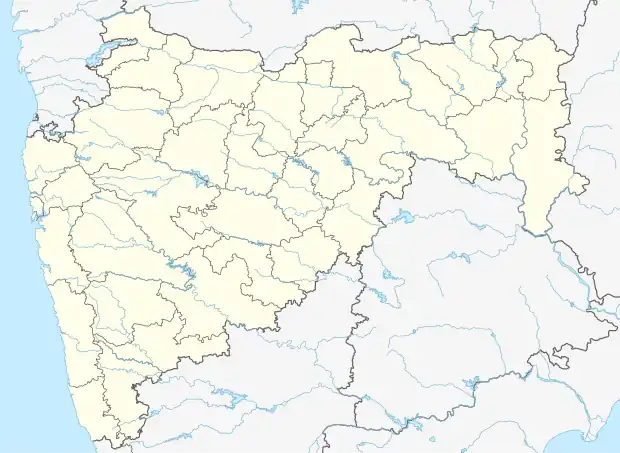 Mahalwadi Location in Maharashtra, India  Mahalwadi Mahalwadi (India) | |
| Coordinates: 19°36′54″N 74°14′15″E / 19.61489°N 74.237558°E | |
| Country | |
| State | Maharashtra |
| District | Ahmadnagar |
| Taluka | Sangamner |
| Government | |
| • Body | Village Panchayat |
| Languages | |
| • Official | Marathi |
| Time zone | UTC+5:30 (IST) |
| Lok Sabha constituency | Shirdi |
| Vidhan Sabha constituency | Sangamner |
Mahalwadi village is located in Sangamner Tehsil of Ahmadnagar district in Maharashtra, India.[1] Sangamner is nearest town to Mahalwadi which is approximately 29 km away.[1] As per 2019 stats, Mahalwadi villages comes under Akole assembly & Shirdi parliamentary constituency.[1][2][3]
References
- 1 2 3 "Mahalwadi · Maharashtra, India". Mahalwadi · Maharashtra, India. Retrieved 17 May 2021.
- ↑ "Map of Mahalwadi Village in Sangamner Tehsil, Ahmadnagar, Maharashtra". www.mapsofindia.com. Retrieved 30 May 2021.
- ↑ "Farmers in Rural Maharashtra are Fighting Climate Change. With Just a Mobile Phone". The Better India. 9 January 2016. Retrieved 30 May 2021.
This article is issued from Wikipedia. The text is licensed under Creative Commons - Attribution - Sharealike. Additional terms may apply for the media files.