Makaising
मकैसिङ | |
|---|---|
 Makaising Location in Nepal  Makaising Makaising (Nepal) | |
| Coordinates: 27°53′N 84°41′E / 27.883°N 84.683°E | |
| Country | |
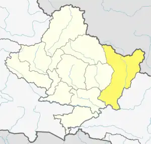
| Zone | Gandaki Zone |
| District | Gorkha District |
| Population (1991) | |
| • Total | 2,231 |
| Time zone | UTC+5:45 (Nepal Time) |
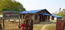
Primary health center in Makaising
Makaising is a village development committee in Gorkha District in the Gandaki Zone of northern-central Nepal. At the time of the 1991 Nepal census it had a population of 2,231 and had 416 houses in the village.[1]
The village is connected by an unpaved road with Prithvi Highway.
It has a primary health center.
References
- ↑ "Nepal Census 2001". Nepal's Village Development Committees. Digital Himalaya. Archived from the original on 2008-10-12. Retrieved 2008-08-31.
This article is issued from Wikipedia. The text is licensed under Creative Commons - Attribution - Sharealike. Additional terms may apply for the media files.