Mampata | |
|---|---|
Village | |
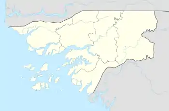 Mampata Location in Guinea-Bissau | |
| Coordinates: 11°38′11″N 14°41′15″W / 11.63639°N 14.68750°W | |
| Country | |
| Region | Bafatá Region |
| Sector | Xitole |
| Time zone | UTC+0 (GMT) |
Mampata is a large village in the Bafatá Region of central Guinea-Bissau. It lies near the northern bank of the Corubal River, southwest of Chumael.[1][2]
There is another village named Mampata several kilometres to the southwest, to the west of Quebo.
References
- ↑ Google Maps (Map). Google.
- ↑ Bing Maps (Map). Microsoft and Harris Corporation Earthstar Geographics LLC.
This article is issued from Wikipedia. The text is licensed under Creative Commons - Attribution - Sharealike. Additional terms may apply for the media files.