Manikpur
Manikpur | |
|---|---|
city(Town) | |
.jpg.webp) Manikpur Junction railway station | |
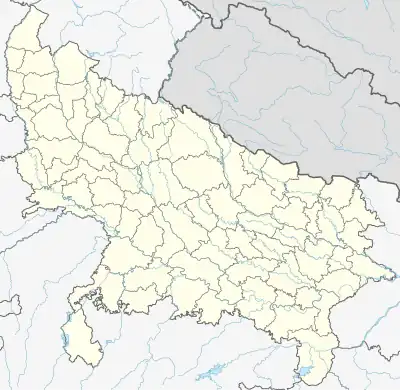 Manikpur Location in Uttar Pradesh, India  Manikpur Manikpur (India) | |
| Coordinates: 25°04′N 81°06′E / 25.067°N 81.100°E | |
| Country | |
| State | Uttar Pradesh |
| District | Chitrakoot |
| Government | |
| • Type | NAGAR PANCHAYAT |
| Population (2011) | |
| • Total | 16,467 |
| Languages~ Hindi.bandhi.bundelkhandi | |
| • Official | Hindi |
| Time zone | UTC+5:30 (IST) |
| Vehicle registration | UP 96 |
| Website | up |
Manikpur, is a town of the Indian state of Uttar Pradesh in Chitrakoot district, it has population around 15,435 as per 2011-2020 census, which makes it a nagar panchayat, and Tahseel in Manikpur. It is located at 25°55′59″N 81°58′59″E25.933°N 81.983°E and surrounded by large Vindhya mountain range.
Demographics
As of 2011 India census,[1] Manikpur Sarhat had a population of 15,435. Males constitute 53% of the population and females 47%. Manikpur Sarhat has an average literacy rate of 62%, higher than the national average of 59.5%: male literacy is 72%, and female literacy is 50%. In Manikpur Sarhat, 18% of the population is under 6 years of age.
References
- ↑ "Census of India 2001: Data from the 2001 Census, including cities, villages and towns (Provisional)". Census Commission of India. Archived from the original on 16 June 2004. Retrieved 1 November 2008.
This article is issued from Wikipedia. The text is licensed under Creative Commons - Attribution - Sharealike. Additional terms may apply for the media files.