Maquinchao Airport Aeropuerto Maquinchao | |||||||||||||||
|---|---|---|---|---|---|---|---|---|---|---|---|---|---|---|---|
| Summary | |||||||||||||||
| Airport type | Public | ||||||||||||||
| Serves | Maquinchao, Argentina | ||||||||||||||
| Elevation AMSL | 2,910 ft / 887 m | ||||||||||||||
| Coordinates | 41°14′33″S 68°42′25″W / 41.24250°S 68.70694°W | ||||||||||||||
| Map | |||||||||||||||
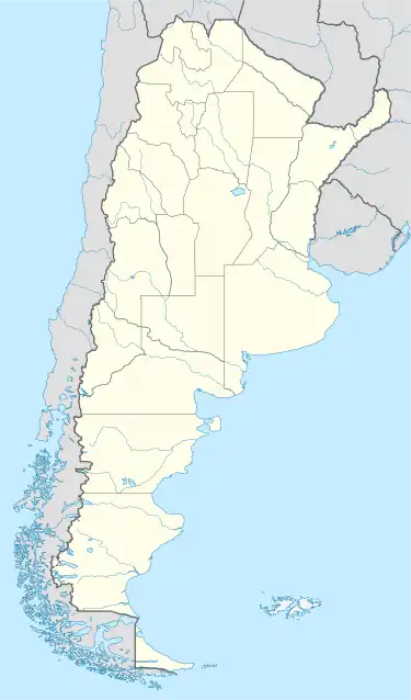 MQD Location of airport in Argentina | |||||||||||||||
| Runways | |||||||||||||||
| |||||||||||||||
Maquinchao Airport (Spanish: Aeropuerto Maquinchao, IATA: MQD, ICAO: SAVQ) is a public use airport on the northern edge of Maquinchao, a town in the Río Negro Province of Argentina.
See also
References
- ↑ Airport record for Maquinchao Airport at Landings.com. Retrieved 2 September 2013
- ↑ "Maquinchao Airport". Google Maps. Google. Retrieved 26 May 2019.
- ↑ Airport information for Maquinchao Airport at Great Circle Mapper.
External links
- OpenStreetMap - Maquinchao Airport
- OurAirports - Maquinchao Airport
- Accident history for MQD at Aviation Safety Network
This article is issued from Wikipedia. The text is licensed under Creative Commons - Attribution - Sharealike. Additional terms may apply for the media files.