| Marble Peak | |
|---|---|
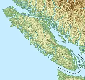 Marble Peak 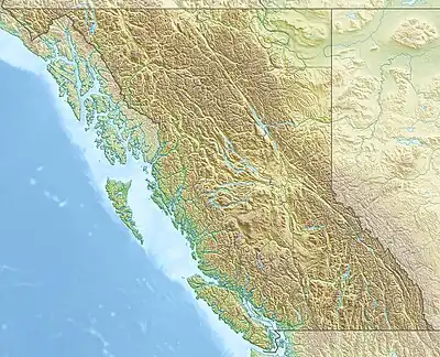 Marble Peak Marble Peak (British Columbia) | |
| Highest point | |
| Elevation | 1,761 m (5,778 ft) |
| Prominence | 246 m (807 ft) |
| Coordinates | 49°41′39.1″N 125°36′28.1″W / 49.694194°N 125.607806°W |
| Geography | |
| Location | Vancouver Island, British Columbia, Canada |
| District | Nootka Land District |
| Parent range | Vancouver Island Ranges |
| Topo map | NTS 92F12 Buttle Lake |
Marble Peak is a mountain in Strathcona Provincial Park[1] on Vancouver Island, British Columbia, Canada. It is located 33 km (21 mi) east of Gold River and 4 km (2 mi) southeast of Mount McBride.[2]
See also
References
- ↑ "Marble Peak - Introduction". SummitPost.org. Retrieved 14 March 2019.
- ↑ Marble Peak in the Canadian Mountain Encyclopedia
External links
This article is issued from Wikipedia. The text is licensed under Creative Commons - Attribution - Sharealike. Additional terms may apply for the media files.