Marykulam | |
|---|---|
Village | |
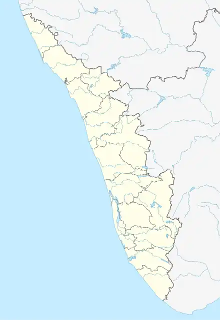 Marykulam Location in Kerala, India  Marykulam Marykulam (India) | |
| Coordinates: 9°41′48″N 77°2′22″E / 9.69667°N 77.03944°E | |
| Country | |
| State | Kerala |
| District | Idukki |
| Taluk | Udumbanchola |
| Government | |
| • Type | Panchayat |
| • Body | Ayyappancoil Grama Panchayat |
| Languages | |
| • Official | Malayalam, English |
| Time zone | UTC+5:30 (IST) |
| PIN | 685507 |
| Area code | 04868 |
| Vehicle registration | KL-69, KL-37 |
Marykulam is a village in Udumbanchola taluk of Idukki district in the Indian state of Kerala. It comes under the administration of Ayyappancoil panchayat.[1] It is situated 15 km (9.3 mi) from Kattappana, 25 km (16 mi) from Kumily and 3 km (1.9 mi) from Upputhara.
Educational institutions
- Govt. L.P. School, Mattukatta
- Grace Garden Public School, Mattukatta
- Marian Public School, Marykulam
- St. Joseph's Nursery School, Marykulam
- St. Mary's H.S.S, Marykulam
- St. Mary's High School, Marykulam
- St. Mary's L.P. School, Marykulam
- St. Mary's U.P. School, Marykulam
References
- ↑ inmap.in. "Marykulam Kattappana Idukki Kerala Information About All Villages Of India , Map Of Indian Villages inmap.in". inmap.in. Retrieved 15 June 2023.
This article is issued from Wikipedia. The text is licensed under Creative Commons - Attribution - Sharealike. Additional terms may apply for the media files.