Mbekweni | |
|---|---|
 Mbekweni  Mbekweni | |
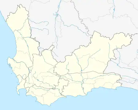
| Coordinates: 33°41′S 18°59′E / 33.68°S 18.99°E | |
| Country | South Africa |
| Province | Western Cape |
| District municipality | Cape Winelands |
| Local municipality | Drakenstein |
| Area | |
| • Total | 2.04 km2 (0.79 sq mi) |
| Population (2011)[1] | |
| • Total | 30,875 |
| • Density | 15,000/km2 (39,000/sq mi) |
| Time zone | UTC+2 (SAST) |
| Postal code | 7626 |
Mbekweni is a township situated between Wellington and Paarl in the Western Cape province of South Africa. As of 2011 it had a population of 30,875 residents in 8,339 households.[1] Paarl, Mbekweni and Wellington form a continuous urban area within the Drakenstein Municipality.
References
- 1 2 3 "Main Place: Mbekweni". Census 2011. Retrieved 23 May 2020.
Municipalities and communities of Cape Winelands District Municipality, Western Cape | ||
|---|---|---|
District seat: Stellenbosch | ||
| Witzenberg | .svg.png.webp) Cape Winelands District within South Africa | |
| Drakenstein | ||
| Stellenbosch | ||
| Breede Valley | ||
| Langeberg | ||
This article is issued from Wikipedia. The text is licensed under Creative Commons - Attribution - Sharealike. Additional terms may apply for the media files.