McCollum, Alabama | |
|---|---|
 McCollum  McCollum | |
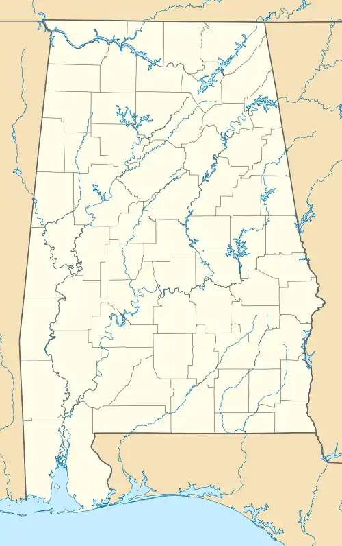
| Coordinates: 33°49′04″N 87°19′31″W / 33.81778°N 87.32528°W | |
| Country | United States |
| State | Alabama |
| County | Walker |
| Elevation | 436 ft (133 m) |
| Time zone | UTC-6 (Central (CST)) |
| • Summer (DST) | UTC-5 (CDT) |
| Area code(s) | 205, 659 |
| GNIS feature ID | 122485[1] |
McCollum is an unincorporated community in Walker County, Alabama, United States. McCollum is located along Alabama State Route 69, 3 miles (4.8 km) west of Jasper.
History
McCollum is named for the McCollum family, who were early settlers of the area.[2] A post office operated under the name McCollum from 1903 to 1909.[3] It is located where State Route 69 and State Route 124 split.
Notes
- ↑ "McCollum". Geographic Names Information System. United States Geological Survey, United States Department of the Interior.
- ↑ Foscue, Virginia (1989). Place Names in Alabama. Tuscaloosa: The University of Alabama Press. p. 88. ISBN 0-8173-0410-X.
- ↑ "Walker County". Jim Forte Postal History. Retrieved November 27, 2015.
Municipalities and communities of Walker County, Alabama, United States | ||
|---|---|---|
| Cities | 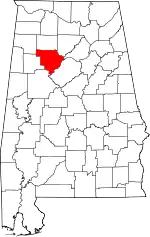 Map of Alabama highlighting Walker County | |
| Towns | ||
| Unincorporated communities | ||
| Footnotes | ‡This populated place also has portions in an adjacent county or counties | |
This article is issued from Wikipedia. The text is licensed under Creative Commons - Attribution - Sharealike. Additional terms may apply for the media files.