Mfumuni Ward
| |
|---|---|
| Kata ya Mfumuni, Wilaya ya Moshi Mjini | |
 Mfumuni Ward | |
| Coordinates: 3°20′8.52″S 37°20′46.32″E / 3.3357000°S 37.3462000°E | |
| Country | |
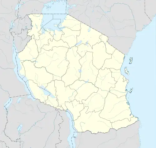
| Region | Kilimanjaro Region |
| District | Moshi District |
| Area | |
| • Total | 2.0 km2 (0.8 sq mi) |
| Elevation | 862 m (2,828 ft) |
| Population (2012) | |
| • Total | 4,750 |
| • Density | 2,400/km2 (6,200/sq mi) |
Mfumuni is an administrative ward in Moshi District of Kilimanjaro Region in Tanzania. The ward covers an area of 2.0 km2 (0.77 sq mi),[1] and has an average elevation of 862 m (2,828 ft).[2] According to a 2012 census, the ward has a population of 4,750.[3]
References
- ↑ "Tanzania: Northern Tanzania (Districts and Wards) - Population Statistics, Charts and Map".
- ↑ "Mfumuni Ward Elevation".
- ↑ "2012 Population and Housing Census General Report" (PDF). Government of Tanzania. Retrieved 2022-01-02.
This article is issued from Wikipedia. The text is licensed under Creative Commons - Attribution - Sharealike. Additional terms may apply for the media files.