Mgla
Мгла | |
|---|---|
Location of Mgla | |
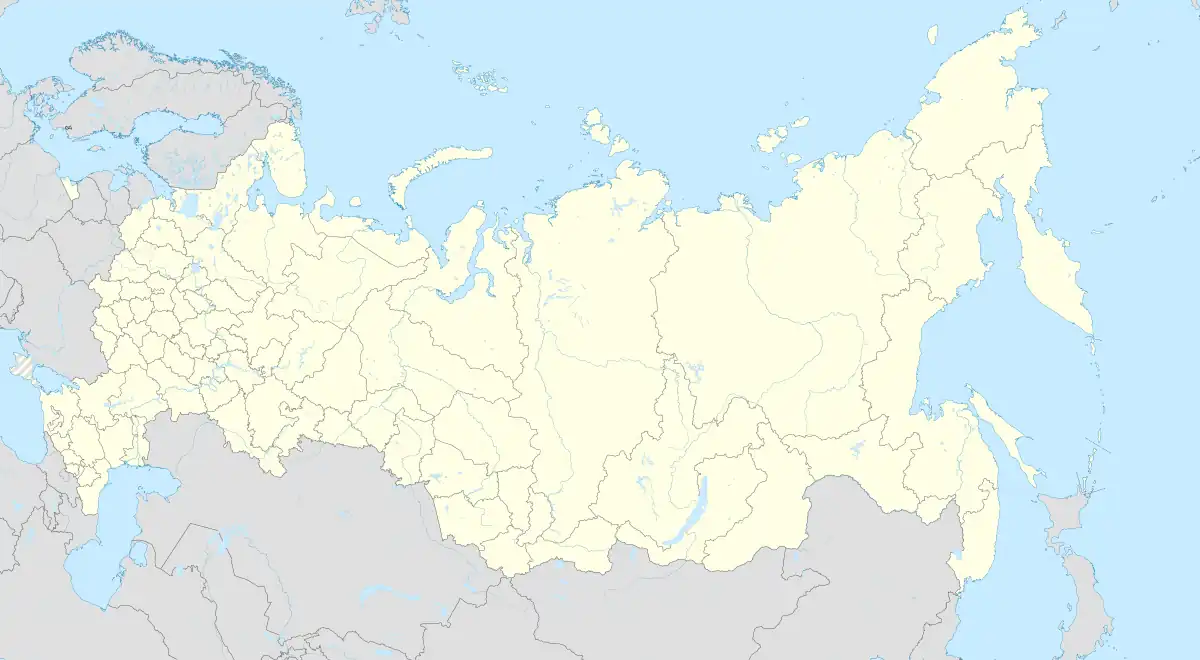 Mgla Location of Mgla 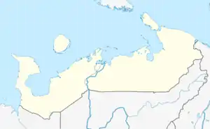 Mgla Mgla (Nenets Autonomous Okrug) | |
| Coordinates: 66°29′52″N 44°26′58″E / 66.49778°N 44.44944°E | |
| Country | Russia |
| Federal subject | Nenets Autonomous Okrug |
| Population | |
| • Total | 20 |
| Time zone | UTC+3 (MSK |
| Postal code(s)[3] | 166737 |
| Dialing code(s) | +7 81857 |
| OKTMO ID | 11811443111 |
Mgla (Russian: Мгла) is a rural locality (a selo) in Zapolyarny District of Nenets Autonomous Okrug, Russia. Mgla had a population of 20 people as of 2010, a decrease from a population of 33 in 2002.
Geography
Mgla is located in the southern portions of the Kanin Peninsula. The village is on the coast of the White Sea.
References
- ↑ Russian Federal State Statistics Service (2011). Всероссийская перепись населения 2010 года. Том 1 [2010 All-Russian Population Census, vol. 1]. Всероссийская перепись населения 2010 года [2010 All-Russia Population Census] (in Russian). Federal State Statistics Service.
- ↑ "Об исчислении времени". Официальный интернет-портал правовой информации (in Russian). 3 June 2011. Retrieved 19 January 2019.
- ↑ Почта России. Информационно-вычислительный центр ОАСУ РПО. (Russian Post). Поиск объектов почтовой связи (Postal Objects Search) (in Russian)
This article is issued from Wikipedia. The text is licensed under Creative Commons - Attribution - Sharealike. Additional terms may apply for the media files.