| Mhlathuze River | |
|---|---|
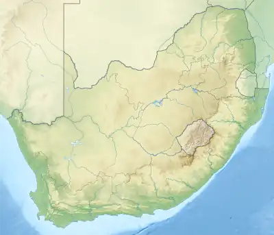 Location of the Mhlatuze River's mouth | |
| Location | |
| Country | South Africa |
| Physical characteristics | |
| Source | |
| • location | Babanango, South Africa |
| • elevation | 1,519 m (4,984 ft) |
| Mouth | Maputo River |
• location | Indian Ocean, KwaZulu-Natal |
• coordinates | 28°48′S 32°3′E / 28.800°S 32.050°E |
| Length | 100 km (62 mi) |
| Basin size | 4,209 km2 (1,625 sq mi) |
The Mhlathuze River (Afrikaans: Mhlatuzerivier) is a river in South Africa. Located in KwaZulu-Natal, its catchment area has a surface area of 4,209 km2. It rises in the west in the Babanango hills at an altitude of 1,519 m and flows over 100 km eastwards to the sea forming an estuary.[1] The deep-sea port of Richards Bay is situated at the mouth of the Mhlathuze River and all industrial development is focused within the Empangeni / Richards Bay complex.
Dams
See also
References
- ↑ Mhlathuze River Estuary, KwaZulu-Natal, South Africa Archived 2012-07-08 at the Wayback Machine
External links
This article is issued from Wikipedia. The text is licensed under Creative Commons - Attribution - Sharealike. Additional terms may apply for the media files.