Montana Township | |
|---|---|
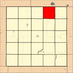 Location in Jewell County | |
| Coordinates: 39°57′35″N 98°05′16″W / 39.95972°N 98.08778°W | |
| Country | United States |
| State | Kansas |
| County | Jewell |
| Area | |
| • Total | 36.43 sq mi (94.35 km2) |
| • Land | 36.38 sq mi (94.22 km2) |
| • Water | 0.05 sq mi (0.13 km2) 0.14% |
| Elevation | 1,719 ft (524 m) |
| Population (2000) | |
| • Total | 93 |
| • Density | 2.6/sq mi (1/km2) |
| GNIS feature ID | 0471873 |
Montana Township is a township in Jewell County, Kansas, USA. As of the 2000 census, its population was 93.
Geography
Montana Township covers an area of 36.43 square miles (94.35 square kilometers); of this, 0.05 square miles (0.13 square kilometers) or 0.14 percent is water.
Adjacent townships
- Jackson Township (east)
- Sinclair Township (southeast)
- Richland Township (south)
- Holmwood Township (southwest)
- Harrison Township (west)
Cemeteries
The township contains one cemetery, Montana.
Major highways
References
External links
Municipalities and communities of Jewell County, Kansas, United States | ||
|---|---|---|
| Cities | 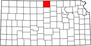 Map of Kansas highlighting Jewell County | |
| Unincorporated communities | ||
| Ghost towns | ||
| Townships | ||
| Footnotes | †This community is designated a Census-Designated Place (CDP) by the United States Census Bureau. | |
This article is issued from Wikipedia. The text is licensed under Creative Commons - Attribution - Sharealike. Additional terms may apply for the media files.