Monte San Pietro | |
|---|---|
| Comune di Monte San Pietro | |
Location of Monte San Pietro | |
 Monte San Pietro Location of Monte San Pietro in Italy 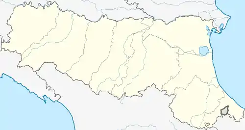 Monte San Pietro Monte San Pietro (Emilia-Romagna) | |
| Coordinates: 44°28′N 11°12′E / 44.467°N 11.200°E | |
| Country | Italy |
| Region | Emilia-Romagna |
| Metropolitan city | Bologna (BO) |
| Government | |
| • Mayor | Monica Cinti |
| Area | |
| • Total | 74.7 km2 (28.8 sq mi) |
| Elevation | 112 m (367 ft) |
| Population (30 November 2017)[2] | |
| • Total | 10,972 |
| • Density | 150/km2 (380/sq mi) |
| Demonym | Montesampietrini or Sampietrini |
| Time zone | UTC+1 (CET) |
| • Summer (DST) | UTC+2 (CEST) |
| Postal code | 40050 |
| Dialing code | 051 |
| Website | Official website |
Monte San Pietro (Medial Mountain Bolognese: Måunt San Pîtr) is a comune (municipality) in the Metropolitan City of Bologna in the Italian region Emilia-Romagna, located about 12 kilometres (7 mi) southwest of Bologna.
Monte San Pietro borders the following municipalities: Marzabotto, Sasso Marconi, Valsamoggia, Zola Predosa.
References
- ↑ "Superficie di Comuni Province e Regioni italiane al 9 ottobre 2011". Italian National Institute of Statistics. Retrieved 16 March 2019.
- ↑ All demographics and other statistics: Italian statistical institute Istat.
External links
This article is issued from Wikipedia. The text is licensed under Creative Commons - Attribution - Sharealike. Additional terms may apply for the media files.