| Mount Abbott | |
|---|---|
 Mount Abbott 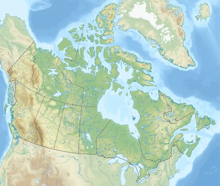 Mount Abbott | |
| Highest point | |
| Elevation | 2,465 m (8,087 ft)[1] |
| Prominence | 45 m (148 ft)[1] |
| Parent peak | Mount Afton (2553 m)[1] |
| Listing | Mountains of British Columbia |
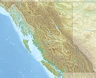
| Coordinates | 51°14′11″N 117°30′33″W / 51.23639°N 117.50917°W[2] |
| Geography | |
| Country | Canada |
| Province | British Columbia |
| Park | Glacier National Park |
| District | Kootenay Land District |
| Parent range | Selkirk Mountains |
| Topo map | NTS 82N4 Illecillewaet[3] |
| Climbing | |
| First ascent | 1888[1] |
Mount Abbott is a mountain in British Columbia, Canada, located within Glacier National Park. The peak is west of the Asulkan Creek drainage, near Rogers Pass. It is named for Harry Braithwaite Abbott, a superintendent of the Canadian Pacific Railway.[4] The first ascent was made by William Spotswood Green and Henry Swanzy in 1888. The route is a relatively easy scramble.[1]
References
- 1 2 3 4 5 "Mount Abbott". Bivouac.com. Retrieved 2010-01-16.
- ↑ "Mount Abbott". BC Geographical Names. Retrieved 2010-01-16.
- ↑ "Mount Abbott". Geographical Names Data Base. Natural Resources Canada. Retrieved 2021-01-31.
- ↑ Woods, John G. (1987). Glacier country : Mount Revelstoke and Glacier National Parks. Vancouver, BC: Douglas & McIntyre, in co-operation with Environment Canada, Parks. p. 65. ISBN 0888945418.
This article is issued from Wikipedia. The text is licensed under Creative Commons - Attribution - Sharealike. Additional terms may apply for the media files.