| Mount Atzmon | |
|---|---|
 | |
| Highest point | |
| Elevation | 547 m (1,795 ft) |
| Listing | |
| Coordinates | 32°49′27″N 35°15′58″E / 32.82417°N 35.26611°E |
| Naming | |
| Native name | הר עצמון (Hebrew) |
| Geography | |
 Mount Atzmon 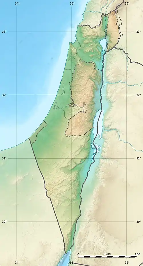 Mount Atzmon | |
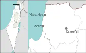
| Country | Israel |
| District | Northern District |
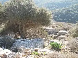
Mount Atzmon is a mountain in the Northern District of Israel.[1]
At the foot of the mountain is the Arab town of Kafr Manda,[2][3] as well as the archaeological site of Jotapata (modern-day Yodfat), where Jewish forces led by Josephus made their last stand against the Romans.[4][5]
See also
- The nearby Beit Netofa Valley
References
- ↑ Man, Nadav (2008-08-24). "From the memoirs of the fighting Pearl family". Ynetnews. Retrieved 2022-06-02.
- ↑ "Israel's smartest student is an Arab - Al-Monitor: The Pulse of the Middle East". www.al-monitor.com. Retrieved 2022-06-02.
- ↑ "Kafr Manda (Israel) | The National Library of Israel". www.nli.org.il. Retrieved 2022-06-02.
- ↑ "History Crash Course #34: War For Jerusalem". aish.com. 2009-05-09. Retrieved 2022-06-02.
- ↑ "Salvation from the cows". The Jerusalem Post | JPost.com. Retrieved 2022-06-02.
This article is issued from Wikipedia. The text is licensed under Creative Commons - Attribution - Sharealike. Additional terms may apply for the media files.