| Mount Dent | |
|---|---|
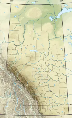 Mount Dent Location in Alberta and British Columbia 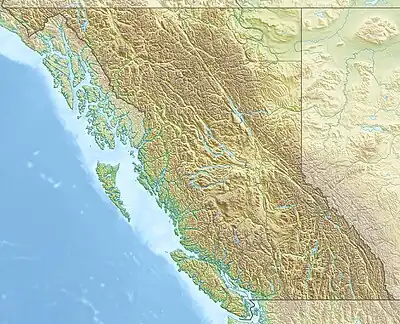 Mount Dent Mount Dent (British Columbia) | |
| Highest point | |
| Elevation | 3,267 m (10,719 ft)[1][2] |
| Prominence | 195 m (640 ft)[3] |
| Parent peak | Mount Freshfield (3337 m)[3] |
| Listing | |
| Coordinates | 51°45′20″N 116°58′09″W / 51.755556°N 116.969167°W[4] |
| Geography | |
| Country | Canada |
| Provinces | Alberta and British Columbia |
| Protected area | Banff National Park |
| Parent range | Park Ranges |
| Topo map | NTS 82N15 Mistaya Lake[4] |
| Climbing | |
| First ascent | 1910 J.E.C. Eaton, B. Otto, H. Burgener (Guide)[2] |
Mount Dent is a summit that straddles the border between British Columbia and Alberta, Canada.[4]
Mount Dent was named in 1899 by J. Norman Collie after Clinton Thomas Dent, an English mountaineer and past president of the UK Alpine Club.[5][6][2]
See also
References
- ↑ "Topographic map of Mount Dent". opentopomap.org. Retrieved 2021-08-22.
- 1 2 3 "Mount Dent". cdnrockiesdatabases.ca. Retrieved 2021-08-22.
- 1 2 "Mount Dent". Bivouac.com. Retrieved 2021-08-22.
- 1 2 3 "Mount Dent (Alberta)". Geographical Names Data Base. Natural Resources Canada. Retrieved 2021-08-22.
- ↑ Place-names of Alberta. Ottawa: Geographic Board of Canada. 1928. p. 4. Retrieved 2021-08-22 – via babel.hathitrust.org.
- ↑ "Mount Dent". BC Geographical Names. Retrieved 2021-08-22.
This article is issued from Wikipedia. The text is licensed under Creative Commons - Attribution - Sharealike. Additional terms may apply for the media files.