| Mount Harmston | |
|---|---|
 | |
| Highest point | |
| Elevation | 2,009 m (6,591 ft) |
| Prominence | 375 m (1,230 ft) |
| Coordinates | 49°32′56.0″N 125°23′53.9″W / 49.548889°N 125.398306°W |
| Geography | |
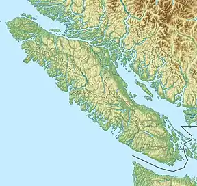 Mount Harmston 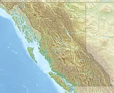 Mount Harmston Mount Harmston (British Columbia) | |
| District | Clayoquot Land District |
| Parent range | Vancouver Island Ranges |
| Topo map | NTS 92F11 Forbidden Plateau |
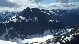
Mount Harmston is a mountain on Vancouver Island, British Columbia, Canada, located approximately 33 km (21 mi) southwest of Courtenay and 3 km (2 mi) north of The Red Pillar.
Mount Harmston is part of the Vancouver Island Ranges which in turn form part of the Insular Mountains.[1]
History
Mount Harmston is named after the Harmston family, early settlers of the Comox Valley. They settled on a 200+ acre preemption in early December 1862, coming from Lincolnshire, England.[2]
See also
References
- ↑ Mount Harmston in the Canadian Mountain Encyclopedia
- ↑ "Mount Harmston". BC Geographical Names.
This article is issued from Wikipedia. The text is licensed under Creative Commons - Attribution - Sharealike. Additional terms may apply for the media files.