| Mount Reynolds | |
|---|---|
 Mount Reynolds 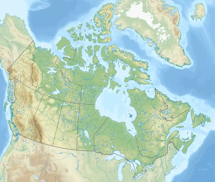 Mount Reynolds Mount Reynolds (Canada) | |
| Highest point | |
| Elevation | 2,004 m (6,575 ft)[1] |
| Prominence | 583 m (1,913 ft)[1] |
| Parent peak | Grant Peak |
| Listing | Mountains of British Columbia |
| Coordinates | 55°11′18″N 122°21′38″W / 55.18833°N 122.36056°W[2] |
| Geography | |
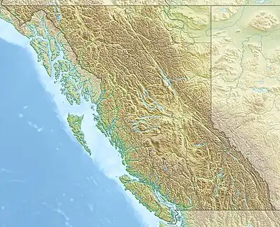
| Location | Pine Pass British Columbia, Canada |
| District | Cariboo Land District |
| Parent range | Murray Range |
| Topo map | NTS 93O1 Mount Reynolds[2] |
Mount Reynolds, is a 2,004-metre (6,575 ft) mountain in the Murray Range of the Hart Ranges in Northern British Columbia.[2][1]
References
- 1 2 3 "Mount Reynolds". PeakVisor. Retrieved 2020-05-05.
- 1 2 3 "Mount Reynolds". BC Geographical Names. Retrieved 2020-05-04.
This article is issued from Wikipedia. The text is licensed under Creative Commons - Attribution - Sharealike. Additional terms may apply for the media files.