| Mount Russell | |
|---|---|
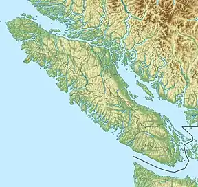 Mount Russell 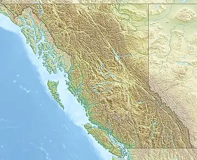 Mount Russell Mount Russell (British Columbia) | |
| Highest point | |
| Elevation | 1,742 m (5,715 ft)[1] |
| Prominence | 663 m (2,175 ft)[1] |
| Parent peak | Mount Palmerston (1765 m)[1] |
| Listing | Mountains of British Columbia |
| Coordinates | 50°23′05″N 126°21′47″W / 50.38472°N 126.36306°W[2] |
| Geography | |
| Location | Vancouver Island, British Columbia, Canada |
| District | Rupert Land District |
| Parent range | Vancouver Island Ranges |
| Topo map | NTS 92L8 Adam River[2] |
Mount Russell is a mountain on Vancouver Island, British Columbia, Canada, located 26 km (16 mi) northeast of Woss and 3 km (2 mi) southwest of Mount Palmerston. It lies in the east headwaters of Tsitika River.[1]
See also
References
- 1 2 3 4 "Mount Russel". Bivouac.com. Retrieved 2021-06-03.
- 1 2 "Mount Russell – British Columbia". Geographical Names Data Base. Natural Resources Canada. Retrieved 2021-06-03.
This article is issued from Wikipedia. The text is licensed under Creative Commons - Attribution - Sharealike. Additional terms may apply for the media files.