| Mulgarrie Western Australia | |
|---|---|
 Mulgarrie | |
| Coordinates | 30°22′52″S 121°29′49″E / 30.381°S 121.497°E |
| Established | 1897 |
| Postcode(s) | 6430 |
| Elevation | 365 m (1,198 ft) |
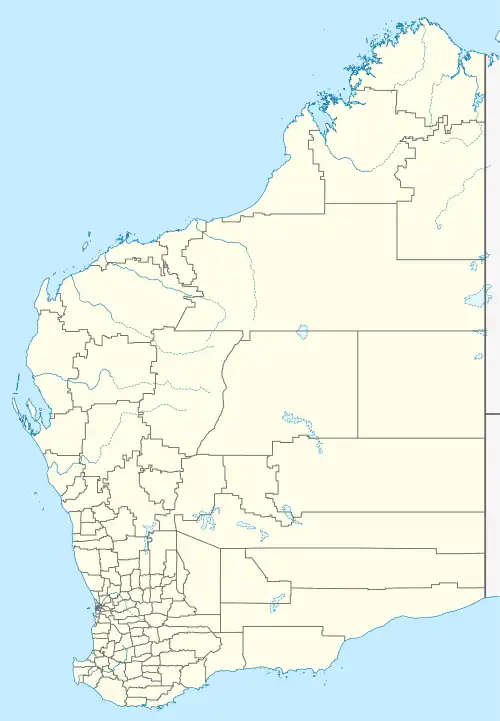
| Location |
|
| LGA(s) | City of Kalgoorlie-Boulder |
| State electorate(s) | Electoral district of Kalgoorlie |
| Federal division(s) | O'Connor |
Mulgarrie is a ghost town, located between Kalgoorlie and Leonora in the Shire of Menzies in the Goldfields-Esperance region of Western Australia.
The locality was originally known as Hayes Find or Hit and Miss, and was reported upon in the 1890s.[1][2][3] The area was visited by the surveyor Beasley in 1896, who suggested that a townsite was required. Lots were surveyed later the same year and the townsite was gazetted in 1897.[4][5]
References
- ↑ "Hayes' Find". Western Argus. Vol. 1, no. 17. Western Australia. 16 March 1895. p. 2. Retrieved 16 February 2021 – via National Library of Australia.
- ↑ "Hayes' Find". Coolgardie Miner. Vol. 3, no. 712. Western Australia. 22 March 1897. p. 7. Retrieved 16 February 2021 – via National Library of Australia.
- ↑ "Notes From Hayes' Find". Coolgardie Miner. Vol. 3, no. 488. Western Australia. 2 July 1896. p. 2. Retrieved 16 February 2021 – via National Library of Australia.
- ↑ "History of country town names – M". Western Australian Land Information Authority. Archived from the original on 14 March 2022. Retrieved 24 February 2011.
- ↑ "Hayes' Find, Mulgarrie". Kanowna Democrat and North East Coolgardie Advertiser. Vol. I, no. 1. Western Australia. 15 August 1896. p. 3. Retrieved 16 February 2021 – via National Library of Australia.
This article is issued from Wikipedia. The text is licensed under Creative Commons - Attribution - Sharealike. Additional terms may apply for the media files.