Nachusa, Illinois | |
|---|---|
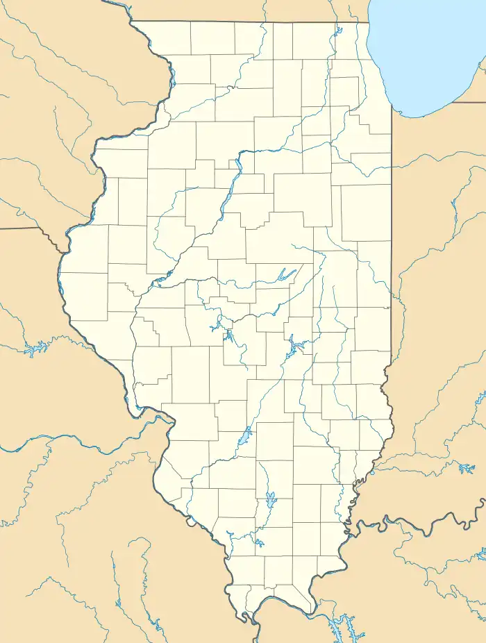 Nachusa  Nachusa | |
| Coordinates: 41°49′53″N 89°23′23″W / 41.83139°N 89.38972°W | |
| Country | United States |
| State | Illinois |
| County | Lee |
| Township | Nachusa |
| Area | |
| • Total | 0.76 sq mi (1.98 km2) |
| • Land | 0.76 sq mi (1.98 km2) |
| • Water | 0.00 sq mi (0.00 km2) |
| Elevation | 791 ft (241 m) |
| Population (2020) | |
| • Total | 137 |
| • Density | 179.32/sq mi (69.25/km2) |
| Time zone | UTC-6 (Central (CST)) |
| • Summer (DST) | UTC-5 (CDT) |
| ZIP code | 61057 |
| Area code(s) | 815 & 779 |
| GNIS feature ID | 414279[2] |
Nachusa is an unincorporated community in Lee County, Illinois, United States, located 5 miles (8.0 km) east of Dixon. Nachusa has a post office with ZIP code 61057.[3] Nachusa is located on the old C&NW main line between Chicago and Omaha.
Demographics
| Census | Pop. | Note | %± |
|---|---|---|---|
| 2020 | 137 | — | |
| U.S. Decennial Census[4] | |||
History
A post office called Nachusa has been in operation since 1855.[5] The name Nachusa is said to be derived from Sac or Fox Indian.[6]
See also
- Nachusa Grasslands, a tallgrass prairie conservancy located nearby.
References
- ↑ "2020 U.S. Gazetteer Files". United States Census Bureau. Retrieved March 15, 2022.
- ↑ "US Board on Geographic Names". United States Geological Survey. October 25, 2007. Retrieved January 31, 2008.
- ↑ ZIP Code Lookup
- ↑ "Census of Population and Housing". Census.gov. Retrieved June 4, 2016.
- ↑ "Lee County". Jim Forte Postal History. Retrieved March 1, 2015.
- ↑ Chicago and North Western Railway Company (1908). A History of the Origin of the Place Names Connected with the Chicago & North Western and Chicago, St. Paul, Minneapolis & Omaha Railways. p. 105.
Municipalities and communities of Lee County, Illinois, United States | ||
|---|---|---|
| Cities | Map of Illinois highlighting Lee County | |
| Villages | ||
| Townships | ||
| CDPs | ||
| Other communities | ||
| Footnotes | ‡This populated place also has portions in an adjacent county or counties | |
This article is issued from Wikipedia. The text is licensed under Creative Commons - Attribution - Sharealike. Additional terms may apply for the media files.