Nakhon Ratchasima Airport ท่าอากาศยานนครราชสีมา | |||||||||||
|---|---|---|---|---|---|---|---|---|---|---|---|
| Summary | |||||||||||
| Airport type | Public | ||||||||||
| Operator | Department of Airports | ||||||||||
| Serves | Nakhon Ratchasima | ||||||||||
| Location | Tha Chang, Chaloem Phra Kiat, Nakhon Ratchasima, Thailand | ||||||||||
| Opened | 5 December 1997 | ||||||||||
| Elevation AMSL | 765 ft / 233 m | ||||||||||
| Coordinates | 14°56′58″N 102°18′45″E / 14.94944°N 102.31250°E | ||||||||||
| Maps | |||||||||||
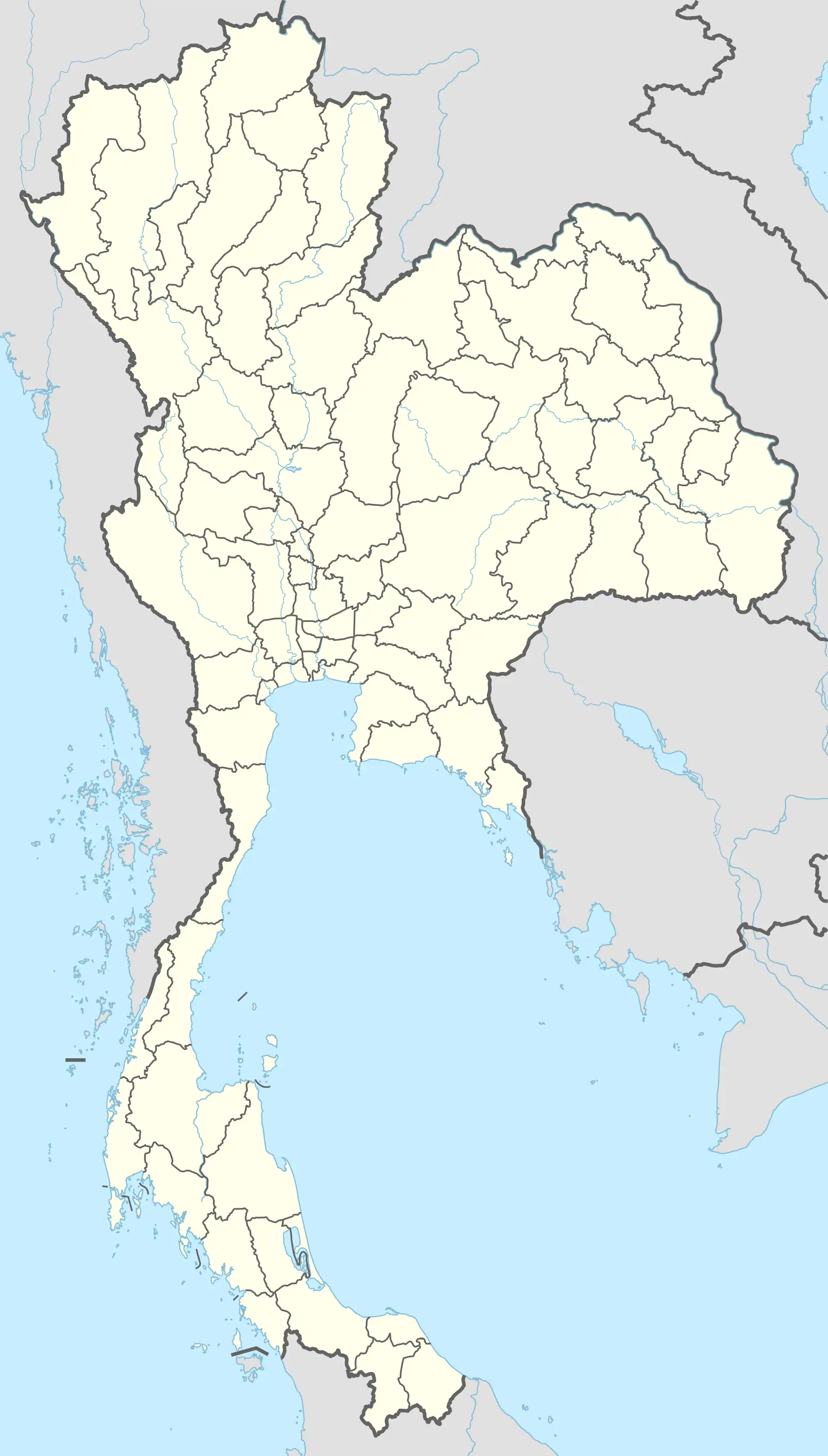 NAK Location of airport in Thailand | |||||||||||
| Runways | |||||||||||
| |||||||||||
Nakhon Ratchasima Airport[lower-alpha 1] (IATA: NAK, ICAO: VTUQ), is in Tha Chang subdistrict, Chaloem Phra Kiat district, Nakhon Ratchasima province in northeastern Thailand, approximately 26 kilometers east of downtown Nakhon Ratchasima.[1]
Airlines and destinations
Notes
References
- ↑ "(NAK) Nakhon Ratchasima Airport Overview". FlightStats. Retrieved 1 July 2015.
External links
 Nakhon Ratchasima travel guide from Wikivoyage
City of Nakhon Ratchasima | |||||||
|---|---|---|---|---|---|---|---|
| Government and localities |
|  | |||||
| Buildings and landmarks |
| ||||||
| Economy |
| ||||||
| Transport |
| ||||||
| Culture | |||||||
| Education |
| ||||||
| Health | |||||||
| Other topics |
| ||||||
This article is issued from Wikipedia. The text is licensed under Creative Commons - Attribution - Sharealike. Additional terms may apply for the media files.