Naoriya Pakhanglakpa | |
|---|---|
city | |
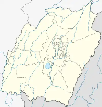 Naoriya Pakhanglakpa Location in Manipur, India  Naoriya Pakhanglakpa Naoriya Pakhanglakpa (India) | |
| Coordinates: 24°46′36″N 93°55′58″E / 24.7768°N 93.93282°E | |
| Country | |
| State | Manipur |
| District | Imphal West |
| Population (2001) | |
| • Total | 6,619 |
| Languages | |
| • Official | Meiteilon (Manipuri) |
| Time zone | UTC+5:30 (IST) |
| Vehicle registration | MN |
| Website | manipur |
Naoriya Pakhanglakpa is a census town in Imphal West district in the Indian state of Manipur.
Demographics
As of 2001 India census,[1] Naoriya Pakhanglakpa had a population of 6619. Males constitute 50% of the population and females 50%. Naoriya Pakhanglakpa has an average literacy rate of 79%, higher than the national average of 59.5%: male literacy is 85%, and female literacy is 73%. In Naoriya Pakhanglakpa, 10% of the population is under 6 years of age.
Politics
Naoriya Pakhanglakpa is part of Inner Manipur (Lok Sabha constituency).[2]
References
- ↑ "Census of India 2001: Data from the 2001 Census, including cities, villages and towns (Provisional)". Census Commission of India. Archived from the original on 16 June 2004. Retrieved 1 November 2008.
- ↑ "Assembly Constituencies - Corresponding Districts and Parliamentary Constituencies" (PDF). Manipur. Election Commission of India. Retrieved 7 October 2008.
This article is issued from Wikipedia. The text is licensed under Creative Commons - Attribution - Sharealike. Additional terms may apply for the media files.