Boundétingou Airport | |||||||||||
|---|---|---|---|---|---|---|---|---|---|---|---|
| Summary | |||||||||||
| Airport type | Public | ||||||||||
| Serves | Natitingou | ||||||||||
| Location | |||||||||||
| Elevation AMSL | 1,512 ft / 461 m | ||||||||||
| Coordinates | 10°22′37.1″N 1°21′37.8″E / 10.376972°N 1.360500°E | ||||||||||
| Map | |||||||||||
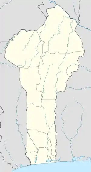 DBBN Location of Boundétingou Airport in Benin | |||||||||||
| Runways | |||||||||||
| |||||||||||
Boundétingou Airport (IATA: NAE, ICAO: DBBN) is a public use airport located near Natitingou, Atakora, Benin.
References
- ↑ Airport record for Boundétingou Airport at Landings.com. Retrieved 2013-08-09
- ↑ Google (2013-08-09). "location of Boundétingou Airport" (Map). Google Maps. Google. Retrieved 2013-08-09.
External links
- Airport record for Boundétingou Airport at Landings.com
This article is issued from Wikipedia. The text is licensed under Creative Commons - Attribution - Sharealike. Additional terms may apply for the media files.